General tags:
▪ Sensing Method:
One-chip color area sensor
▪ Software:
Adobe Photoshop CS Macintosh
▪ Y Resolution:
72 dots per inch
▪ F-Number:
F7.1
▪ Compression:
JPEG compression
▪ Exif Version:
2.20
▪ Date/Time Digitized:
2004:07:12 17:51:56
▪ Thumbnail Length:
0 bytes
▪ Exif Image Height:
650 pixels
▪ Aperture Value:
F7.1
▪ Focal Plane X Resolution:
140/1136000 inches
▪ File Source:
Digital Still Camera (DSC)
▪ Resolution Unit:
Inch
▪ Compressed Bits Per Pixel:
5 bits/pixel
▪ Flash:
No flash fired, compulsory flash mode
▪ Max Aperture Value:
F2.8
▪ Components Configuration:
YCbCr
▪ Make:
Canon
▪ Digital Zoom Ratio:
2272/2272
▪ Color Space:
Undefined
▪ Focal Length:
7.41 mm
▪ Exif Image Width:
866 pixels
▪ Date/Time Original:
2004:07:12 17:51:56
▪ Exposure Time:
1/250 sec
▪ Orientation:
top, left side
▪ Custom Image Processing:
Normal
▪ X Resolution:
72 dots per inch
▪ Metering Mode:
Multi-segment
▪ Thumbnail Offset:
1166 bytes
▪ User Comment:
▪ Scene Capture Type:
Standard
▪ Thumbnail Data:
[0 bytes of thumbnail data]
▪ Shutter Speed Value:
1/128 sec
▪ Exposure Bias Value:
0
▪ Date/Time:
2004:08:24 20:17:02
▪ Model:
Canon PowerShot S400
▪ Focal Plane Y Resolution:
105/852000 inches
▪ YCbCr Positioning:
Center of pixel array
▪ Exposure Mode:
Auto
▪ Focal Plane Resolution Unit:
Inches
▪ FlashPix Version:
1.00
▪ White Balance Mode:
Auto
JPEG tags:
▪ JpegComment.Jpeg Comment:
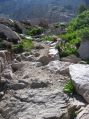
On the Trail toward Bullfrog Lake
▪ Jpeg.Number of Components:
3
▪ Jpeg.Image Height:
650 pixels
▪ Jpeg.Image Width:
866 pixels
▪ Jpeg.Data Precision:
8 bits
▪ Jpeg.Component 3:
Cr component: Quantization table 1, Sampling factors 1 horiz/1 vert
▪ Jpeg.Component 2:
Cb component: Quantization table 1, Sampling factors 1 horiz/1 vert
▪ Jpeg.Component 1:
Y component: Quantization table 0, Sampling factors 1 horiz/1 vert
HOME
»
John Muir Trail Hike: July 11-23, 2004
»
Viewing
Bullfrog Trail
[Image 9 of 103]
::
Jump To
- Page 1
- Page 2
- Page 3
- Page 4
- Page 5
- Page 6
- Page 7
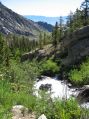
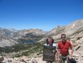
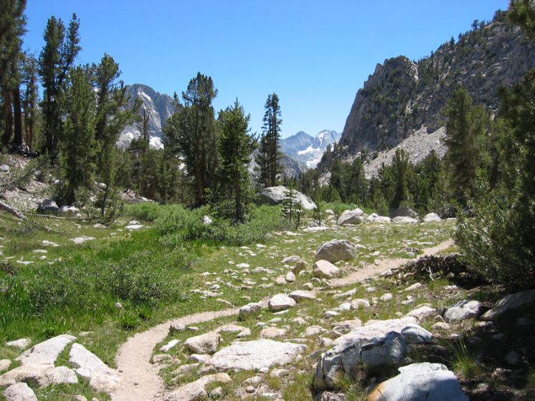
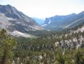
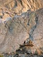
On the Trail toward Bullfrog Lake
Bullfrog Trail.jpg
7/12/04 5:51 PM
Album last updated on 8/25/04 5:30 PM
Rich Shelton - July 2004