HOME
»
John Muir Trail Hike: July 11-23, 2004
(103 Slides)
[Page 1 of 7]
::
Jump To
- Page 1
- Page 2
- Page 3
- Page 4
- Page 5
- Page 6
- Page 7
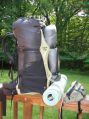
GG Vapor Trail
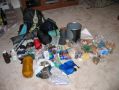
Gear
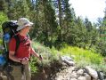
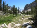
Below Kearsarge
Onion Valley
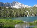
Gilbert Lake
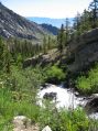
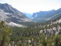
East View
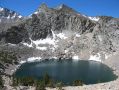
Big Pothole Lake
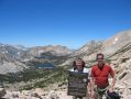
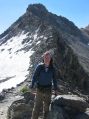
Kearsarge Portrait
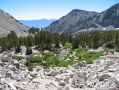
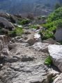
Bullfrog Trail
Bullfrog Trail 2
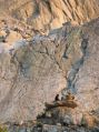
Rough Camping
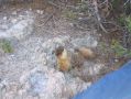
Sneaky Marmot
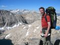
Glen Pass Approach
Glen Pass
Glen Pass 2
Album last updated on 8/25/04 5:30 PM
Rich Shelton - July 2004