HOME
»
John Muir Trail Hike: July 11-23, 2004
(103 Slides)
[Page 7 of 7]
::
Jump To
- Page 1
- Page 2
- Page 3
- Page 4
- Page 5
- Page 6
- Page 7
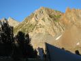
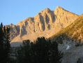
Silver Pass Approach 2
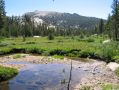
Chief Lake
Chief Lake 2
Chief Lake 3
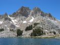
Lake Virginia
Lake Virginia 3
Lake Virginia 4
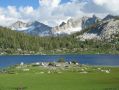
Purple Lake
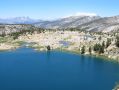
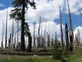
Reds Meadow
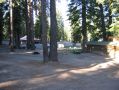
Reds Meadow 2
Tully Hole
Lake Virginia 2
Kearsarge Pass
Album last updated on 8/25/04 5:30 PM
Rich Shelton - July 2004