HOME
»
John Muir Trail Hike: July 11-23, 2004
(103 Slides)
[Page 6 of 7]
::
Jump To
- Page 1
- Page 2
- Page 3
- Page 4
- Page 5
- Page 6
- Page 7
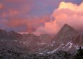
Mt Spencer 3
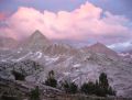
Mt Spencer 4
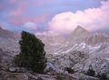
Mt Spencer 5
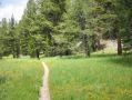
McClure Meadow
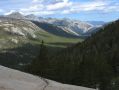
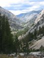
Evolution Valley
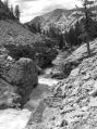
SJ River
SJ River 2
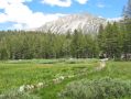
Muir Ranch
Camp 8
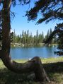
Heart Lake
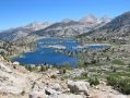
Selden Pass
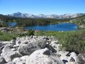
Marie Lake
Stream Crossing
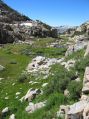
Descent
Silver Pass Approach
Album last updated on 8/25/04 5:30 PM
Rich Shelton - July 2004