HOME
»
John Muir Trail Hike: July 11-23, 2004
(103 Slides)
[Page 2 of 7]
::
Jump To
- Page 1
- Page 2
- Page 3
- Page 4
- Page 5
- Page 6
- Page 7
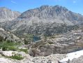
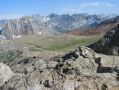
Glen Pass 3
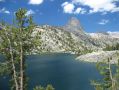
Rae Lakes
Rae Lakes Approach
Fin Dome
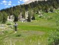
Near Dollar Lake
N of Dollar Lake
South Baxter Creek
Golden Gate
Golden Gate 2
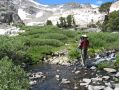
Woods Creek
Pinchot Pass
Pinchot Pass 2
Pinchot Pass 3
Pinchot Pass 4
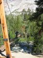
Phone Home
Album last updated on 8/25/04 5:30 PM
Rich Shelton - July 2004